
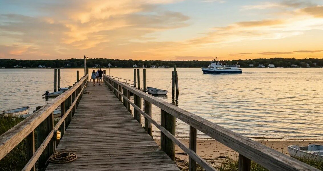
The East End of Long Island stretches from Riverhead out to the twin forks that reach into the Atlantic. It is a region shaped by farmland, salt air, and a slower pace than the western part of the island.
Travelers who arrive expecting a single destination often leave surprised. The East End is really a chain of small villages, each with its own harbor, main street, and character.
Understanding the Two Forks
The South Fork is the more familiar side, home to Southampton, East Hampton, and Montauk. It carries the ocean beaches and the busier summer crowds.
The North Fork feels quieter and more agricultural. Vineyards, farm stands, and clam shacks line the two-lane roads that run from Riverhead out to Orient Point.
Both forks meet at Riverhead, where visitors coming east on the Long Island Expressway make their choice. A weekend can easily include a taste of each side.
Getting Between the Forks
The Shelter Island ferries are the shortcut. One line runs from North Haven to Shelter Island’s south end, and another connects the island’s north end to Greenport on the North Fork.
The full crossing takes under an hour, including the drive across Shelter Island itself. It saves close to two hours compared with looping back through Riverhead.
Villages Worth a Slow Afternoon
Sag Harbor sits on the bay side of the South Fork. Its main street runs down to a working waterfront, and the old whaling museum anchors the historic district.
Greenport, on the North Fork, has a similar walkable core. The carousel on the harbor, the ferry terminal, and a strip of independent shops make it easy to spend a full afternoon on foot.
Farther out, Montauk keeps its fishing-village feel around the docks even as the beachfront has grown. The lighthouse at Montauk Point is the traditional last stop for anyone driving all the way east.
Where the Beaches Cluster
Ocean beaches sit along the South Fork’s Atlantic edge. Cooper’s Beach in Southampton, Main Beach in East Hampton, and Ditch Plains in Montauk are the ones most visitors know by name.
Bay beaches on the North Fork are calmer and shallower. Places like Founders Landing in Southold and the beach at Orient Beach State Park are better suited to families with young children. For travelers who plan a longer visit, seaside rentals across Long Island’s East End give access to both coasts without the daily drive from a single hotel base.
Getting Out to the East End
Most travelers arrive by car, taking the Long Island Expressway east until it ends near Riverhead. From there, Route 25 continues to the North Fork and Route 27 curves down to the South Fork.
The Long Island Rail Road runs branches to Montauk and Greenport. Service is limited outside peak summer weekends, so checking the schedule ahead of time matters.
Ferries from New England
A car ferry connects Orient Point to New London, Connecticut, in about ninety minutes. Foot passengers can use a faster service that runs on a similar route in the summer months.
From the South Fork, a smaller ferry links Sag Harbor with Shelter Island and, seasonally, with Block Island. For travelers coming from Rhode Island or eastern Connecticut, these routes often save a full day of driving.
When to Visit
Summer brings the beaches, the farm stands, and the fullest ferry schedules. It also brings the traffic, especially on Fridays heading east and Sundays heading west.
Late September and October are quieter and often warm enough for the water. The North Fork wineries move into their harvest cadence during this stretch.
Winter is the slowest season, but restaurants in Sag Harbor and Greenport stay open through the holidays. The trade-off is short daylight and a scaled-back ferry schedule.
Planning a Return Visit
Most first-time visitors focus on one fork. A second trip usually adds the other, and a third often includes Shelter Island in the middle.
The region rewards this kind of layered exploration. Small differences in tide, season, and light change how the same village reads from one visit to the next.